National Tanneries of Pakistan (Ltd.)
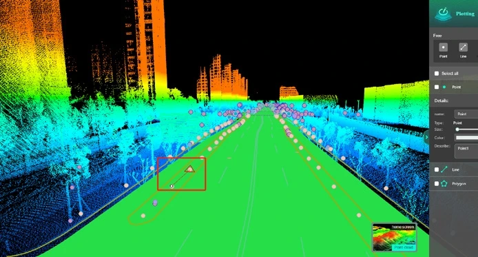
Survey Software LiDAR360MLS Point Cloud Analysis Software 500+ Tools for Urban Forestry Survey AI-Powered Classification
Survey Software LiDAR360MLS Point Cloud Analysis Software 500+ Tools for Urban Forestry Survey AI-Powered Classification
Couldn't load pickup availability
SPECIFICATIONS
Efficient: Customizable workflows
Intelligent: AI-based point cloud intelligent classification
Precise: Point cloud generation
Tools: 500+
User Guide: Built-in Q&A and user guide
brand name: GreenValley
color: White & Black
place of origin: Guangdong, China
power: .
Product Highlights
Forestry :
AI-Powered Forestry Survey: Automatically classifies point clouds without manual segmentation to precisely measure 10+ tree parameters (DBH, height, crown width, etc.), supporting individual tree management.
Intelligent Ecological Analysis: Calculates ecological indicators (green view index, green volume, etc.) with one click, automatically generates ecological landscape thematic maps, and supports batch processing of large-scale scenes.
End-to-End Digitization: Provides dynamically updatable forestry databases covering single-tree measurements to ecological landscape analysis, delivering standardized analytical reports.
Lidar Post processing UAV scanner Lidar scanner Handheld scanner GNSS/RTK/Base station Lidar for topographic/forestry/tunnel/road/powerline.
point-cloud post-processing, procesamiento posterior de nube de puntos, traitement post-nuage de points, DEM / contour generation, on cloud, lidar scanner 360, software, survey software, gnss software, survey road software, surpro v6 gnss software, landstar 8 software, lidar 360